We do not conduct surveys for development applications. Learn more about ecological survey reports for planning applications.
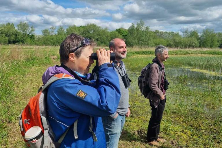
We conduct surveys to support countryside stewardship applications. These services include:
- farm environment record (FER) maps - these maps help document and manage environmental features on farms
- building wildlife assessments - an assessment of the suitability of farm buildings for barn owls, kestrels and bats
- grassland assessments
- pond assessments
- hedgerow surveys - we assess hedgerows against a specific criteria to identify important hedgerows
- woodland surveys - to support applications for the English Woodland grant scheme
- species surveys - to inform conservation strategies and actions
- monitoring of habitats or species on exiting or proposed designated nature reserves and wildlife sites

Read our case studies for examples of current and recent survey projects we have undertaken.
Biodiversity net gain (BNG)
BNG is an approach to development, land and marine management that leaves biodiversity in a measurably better state than before the development took place. It aims to create new habitat as well as enhance existing habitats, ensuring the ecological connectivity they provide for wildlife is retained and improved. High quality biodiversity data is required for the evidence base, which needs to be collected, collated and managed for the lifetime of the BNG projects and is vital to the success of BNG delivery and monitoring.
We are well placed to provide services to help deliver BNG, including calculating the biodiversity value of your project site’s baseline habitat data using the Defra metric.
Our surveyors are:
- fully trained and practised in using the UK Habitats (UKHab) classification system used by the metric
- experienced in carrying out baseline assessments of sites and completing the metric calculation tool.
- accredited to undertake River Condition Assessments (RCAs)
Contact us
To discuss your requirements or to find out about the types of surveys we conduct, contact us at tverc@oxfordshire.gov.uk.
Service charges
We charge a daily rate for data analysis and presentation projects. The charge covers the time taken to complete the project work. The daily rate includes contributing to the annual costs of collating and managing our database. The standard daily rate is:
- £655 for commercial organisations who are not partners
- £490 for parishes, charities and conservation organisations
- £395 for partners signed up to the MoU.
Partners pay the lower rate because they have already contributed to the annual costs of collating and managing our database.